Serra do Tepequém
Vila do Paiva, in Serra do Tepequém, Amajari municipality, northern Roraima.
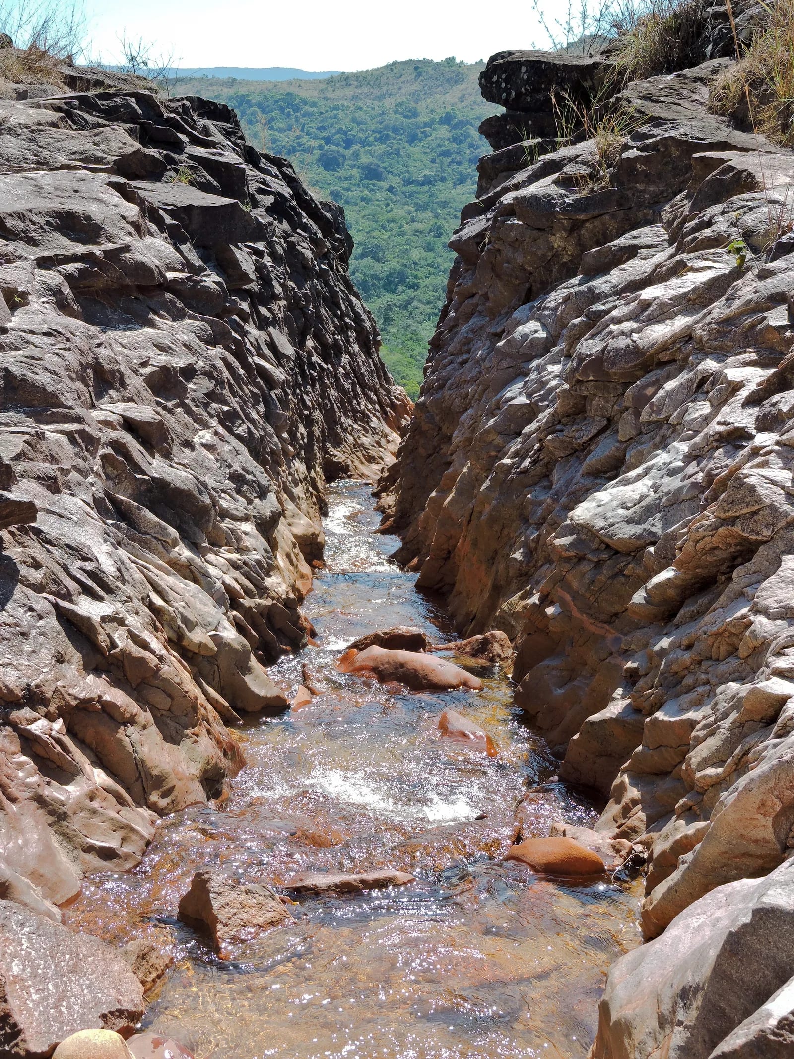
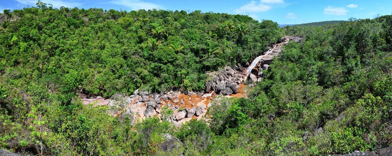
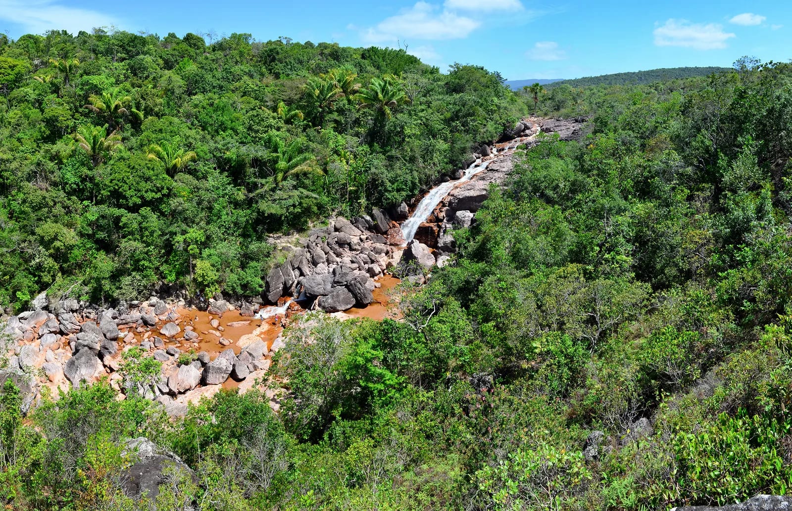
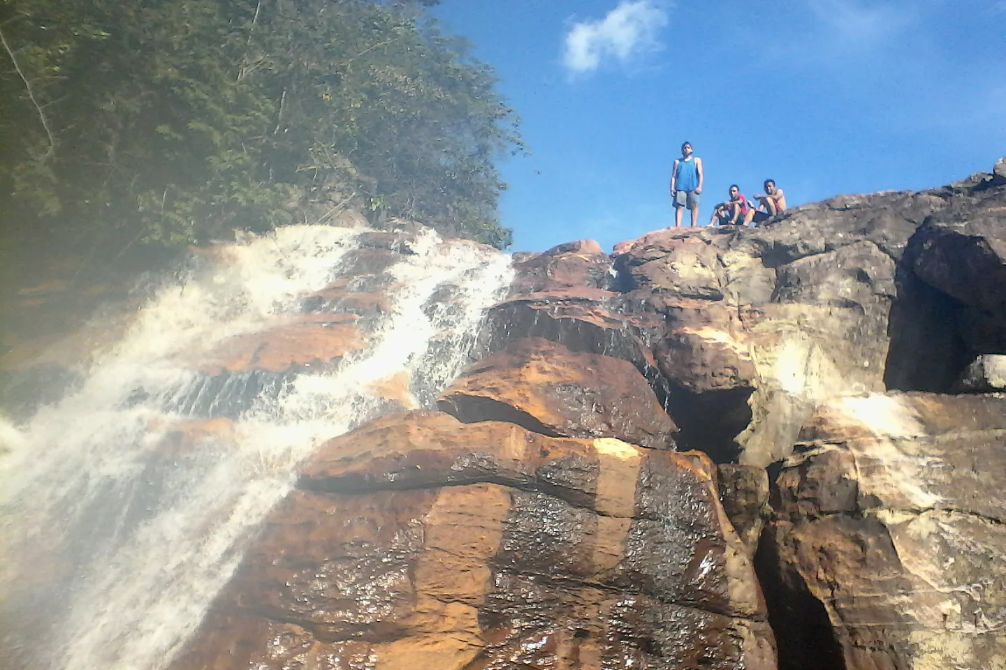
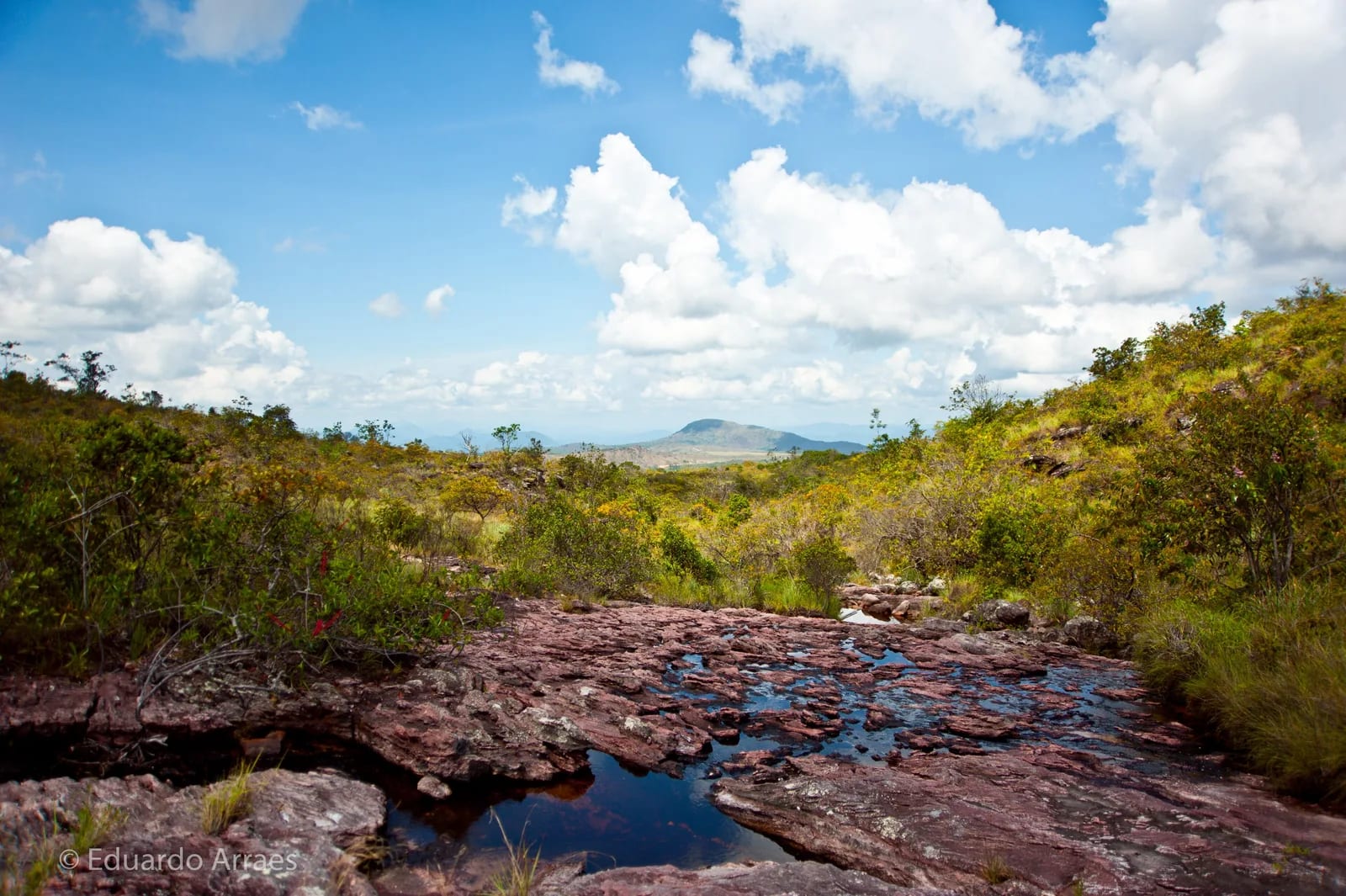
Waterfalls, lookouts, and traces of a mining past shape Serra do Tepequém, an ecotourism retreat in Amajari. The mountain village invites visitors to take their time through open landscapes, streams, and rock formations.
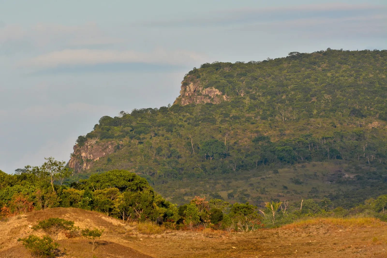
At Brazil’s northernmost edge, Tepequém brings together an ancient plateau, grasslands, and forested stretches. From stone trails to igapés—narrow Amazonian creeks—the landscape opens onto broad horizons and swimming waterfalls; around Vila do Paiva, the community has been turning tourism into an alternative to the former mineral-extraction cycle.
🤔 Why does it matter?
A visit reveals how landscape and social memory meet in Roraima. Moving among lookouts, swimming holes, and waterfalls brings both the geological force of the terrain and the challenges of a destination striving to conserve its resources and share tourism income into view.
📍 What to see
- The mountain plateau and its panoramic views
- Cachoeira do Paiva
- Cachoeira Laje Verde
- Mirante and Abismo do Paiva
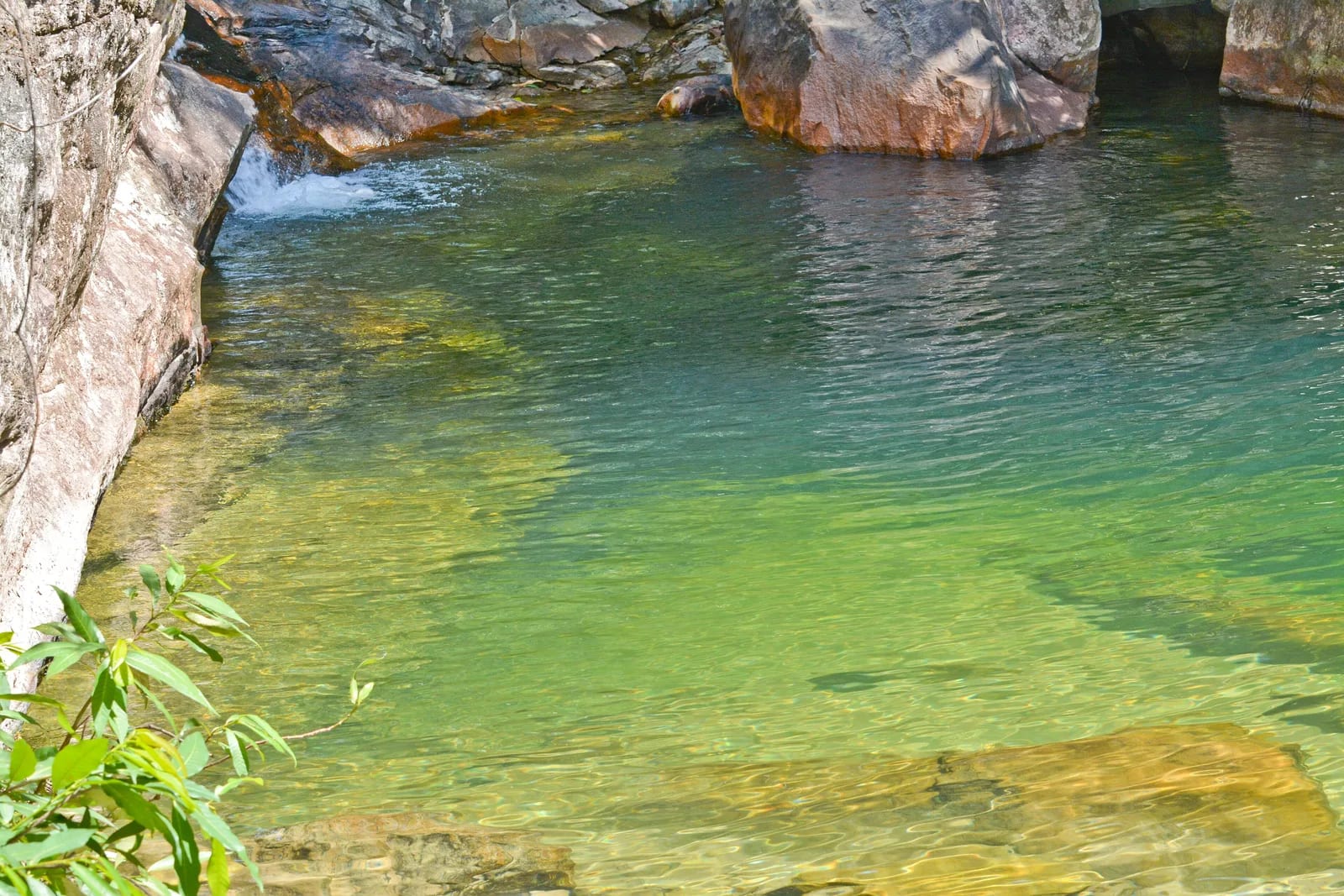
- Lagoa Esmeralda
- Pedra do Índio
- Paredão do Tilim
🎒 Things to do
- Hike with a local guide to natural attractions
- Swim only in pools assessed as safe that day
- Watch the sunrise or sunset from permitted sites
- Photograph birds and rock formations
- Discover the village’s soapstone crafts
✨ Recommended experiences
- For a half-day outing, combine the climb up the mountain road with a stop at Pedra do Índio and a swim at Cachoeira do Paiva, adapting the route to local conditions.
- For a full day, take a guided circuit through Mirante do Paiva, Laje Verde, and Lagoa Esmeralda, saving the plateau for late afternoon.
- For those interested in environmental history, visit Paredão do Tilim with a guide and relate the landforms to the transformations left by mining.
- Over two or three days, alternate hikes, waterfalls, and meals in Vila do Paiva, prioritizing community-run businesses and local guides.
🍽️ Local cuisine
🎶 Soundtrack
- Makunaimando — Zeca Preto and Neuber Uchôa
- Roraimeira — Zeca Preto
🎭 Local culture
🌿 Nature nearby
🌎 Biomes
🏞️ Natural features
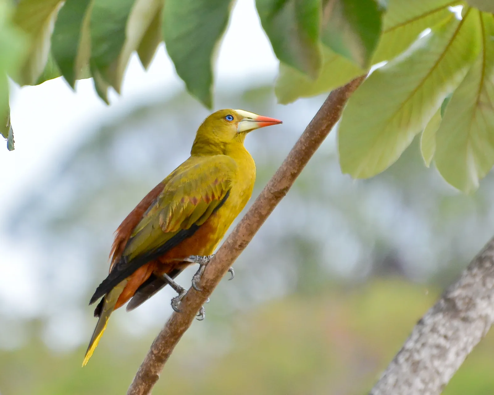
🐾 Wildlife you may spot
🌱 Plants you may see
📅 Best time to visit
June through September tends to balance flowing waterfalls with good visibility; the final decision should take recent rain and the conditions reported by guides into account.
- ✅ Best time:
- June through September, to combine watery landscapes with a greater chance of firm footing on the routes.
- 🟡 Shoulder season:
- April and May, when the falls tend to gain volume but the terrain can become more demanding.
- 🔴 Less recommended:
- October through March, if greater waterfall flow is the priority; dry days may favor other outdoor activities.
- 📝 Notes:
- After heavy rainfall, confirm the condition of trails, bridges, and swimming holes before leaving the village.
🧭 Getting there
🏙️ Base city: Vila do Paiva, also known as Vila Tepequém
✈️ Airport: Boa Vista Atlas Brasil Cantanhede International Airport, BVB
- Leave Boa Vista on BR-174 heading north to Comunidade Três Corações, near kilometer 102 (63 mi).
- Take RR-203 to Vila Brasil, the seat of Amajari, and continue toward Vila do Paiva.
- Local sources report the road journey between Boa Vista and the mountain’s urban center as approximately 205 to 210 kilometers (127 to 130 mi).
🚗 Local transportation
- The Sesc website reports a paved route to Estância Ecológica Sesc Tepequém.
- Use a vehicle in good condition and drive carefully on the final ascent, which has curves and stretches with drop-offs at the sides.
- For attractions outside the village, arrange the route, timing, and accompaniment with local guides.
ℹ️ Practical information
- 🏗️ Infrastructure:
- Intermediate, concentrated in Vila do Paiva and at Estância Ecológica Sesc Tepequém.
- 🏨 Where to stay:
- The community has guesthouses, vacation homes, hammock lodgings, and camping areas; the Sesc lodge offers 24 apartments.
- 🍴 Food:
- The lodge restaurant and community options such as restaurants, snack bars, and grocery stores are listed in the local tourism plan.
- 🧭 Guides and agencies:
- The tourism plan mentions an association of guides; hire local professionals and confirm availability in advance.
- 📶 Internet and signal:
- The Sesc lodge reports Wi-Fi. For other points on the mountain, confirm signal and power quality with your lodging.
- 💰 Estimated cost:
- There is no single, current public price list for lodging, food, guiding, and tours; ask operators for rates before traveling.
- 📝 Notes:
- The 2021 plan reported power fluctuations and limited urban services; treat this information as a prompt to confirm current conditions.
♿ Accessibility
Level: partial
Estância Ecológica Sesc Tepequém reports one apartment adapted for a person with a disability. This does not mean accessibility is assured at the natural attractions.
- Trails, rock slabs, waterfalls, and lookouts may have changes in elevation, uneven ground, and stretches without adapted infrastructure.
- Ask your lodging and guides in advance about routes, assistance, and conditions compatible with each need.
- Do not assume that road access to the village extends to every visitor site.
⚠️ Safety
🚨 Real risks
- Slips on rock, stream banks, and wet trails
- Falls from lookout edges and around swimming holes
- Curves, the steep ascent, and side drop-offs on arrival at the mountain
- Wildlife crossings on RR-203
✅ Recommended care
- Wear shoes with good grip and do not go beyond safety areas.
- Bring water, sun protection, insect repellent, and a waterproof layer.
- Tell your lodging about your itinerary and return before nightfall.
- Do not enter water with currents, turbidity, or unknown depth.
⛔ When to avoid: Avoid trails and travel to remote sites during heavy rain, after flooding, or without local confirmation of access conditions.
📝 Checklist — what to bring
- Hiking shoes with good traction
- Sunscreen and insect repellent
- Hat and sunglasses
- Drinking water and a light snack
- Dry bag for electronics
- Flashlight and portable charger
- Rain jacket
✈️ Travel tips
- Set aside two or three days to experience the attractions without packing everything into a single outing.
- Arrange lodging, transportation, and guides in advance, especially on holidays.
- Respect signage and take all waste back with you.
- Choose local purchases and services so your visit generates income for the community.
💡 Fun facts
- Local tradition links the name Tepequém to the Indigenous expression Tupã Queem, interpreted in the community tourism plan as God of Fire.
- Paredão do Tilim is one of the landforms associated with past mining interventions.
- Access to the region includes a paved climb of about four kilometers (2.5 mi), with curves and drop-offs along the sides.
🤔 Did you know?
- Estância Ecológica Sesc Tepequém lies within a Private Natural Heritage Reserve, with Pedra do Índio facing its lodging area.
- The Sesc property has 24 apartments and a stated capacity of 83 guests, as well as a restaurant, natural pool, and leisure activities.
- Reception at Estância Ecológica Sesc Tepequém is open from 7 a.m. to 10 p.m.
📜 History and context
Tepequém’s settlement was deeply shaped by the search for gold and diamonds, most intense between the 1930s and 1970s. Blasting, excavation, and changes to watercourses left visible marks on the land. As mining declined and was prohibited in the 1990s, residents began organizing guesthouses, food services, camping, crafts, and visitor guiding as a new economic avenue.
🌍 Global importance
Its importance is primarily regional, as a Roraima example of geodiversity and of the conversion of a mined area into a nature-tourism destination. The consulted sources did not identify a specific World Heritage designation for the mountain range.
🗺️ Quick map (orientation)
📌 Main base: Vila do Paiva, in Serra do Tepequém
🧭 Landmarks
📍 Nearby places
Small discoveries
- Amajari
- Municipality in northern Roraima; gateway to the mountain range.
- Vila do Paiva
- Vila Tepequém; a base with guesthouses and restaurants.
- RR
- Abbreviation for the Brazilian state of Roraima.
- Cachoeira do Paiva
- Waterfall with a swimming hole, reached by trail from Mirante do Paiva.
- Cachoeira Laje Verde
- Waterfall and green rock slabs near Cachoeira do Paiva.
- Lagoa Esmeralda
- Rock shelf with emerald-colored waters during periods of good flow.
- 4x4
- Four-wheel-drive vehicle used on off-road routes.
- Damorida
- Indigenous Macuxi and Wapichana dish: a spicy broth made with fish and chilies.
- Cheiro-verde
- Amazonian herb with a citrus-woody aroma, used in fish dishes.
- Cupuaçu
- Fragrant Amazonian fruit with tart, perfumed pulp.
- RR-203
- State highway linking BR-174 to the Vila Brasil and Vila do Paiva area.
- BVB
- IATA code for Boa Vista Atlas Brasil Cantanhede International Airport.
- BR-174
- Federal highway connecting Boa Vista to northern Roraima.
- Estância Ecológica Sesc Tepequém
- Lodging and tourist-support center at the foot of the mountain.
- Vila Brasil
- Administrative seat of Amajari and an access point for the mountain range.